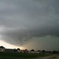
(Spirit Lake)– There may soon be a blanket of snow on top of that ice that still coats many streets, parking lots and sidewalks in the area from Saturday’s ice storm.
A Winter Storm Watch has been issued for northwest Iowa Tuesday afternoon into Wednesday evening.
Todd Heitkamp, a Warning Coordination Meteorologist with the National Weather Service in Sioux Falls, tells KUOO news there’s a possibility somebody in the region could get as much as six inches or more of snow by Wednesday night.
Heitkamp adds it’s too early to pinpoint exactly where the heaviest snow will fall, as the system is just moving onto the California coast this (Mon.) morning. He says they should have a better idea late today (Mon.) or early Tuesday.
Heitkamp says we can expect a much more active weather pattern now that we’re in the new year.